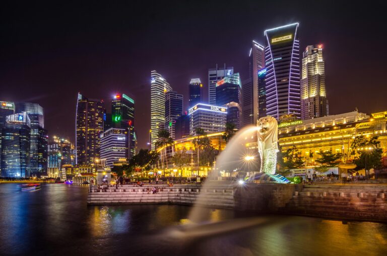
Singapore, known for its efficient urban planning and infrastructural development, has a well-structured road network designed to cater to its dense population and high traffic volumes. The roads in Singapore are categorized into several types, each serving a specific purpose and facilitating different kinds of traffic flow. These categories ensure smooth transportation and connectivity across the island. Here’s an overview of the primary categories of roads in Singapore:
Read more Singapore road tips here: https://learntodrivesg.com/
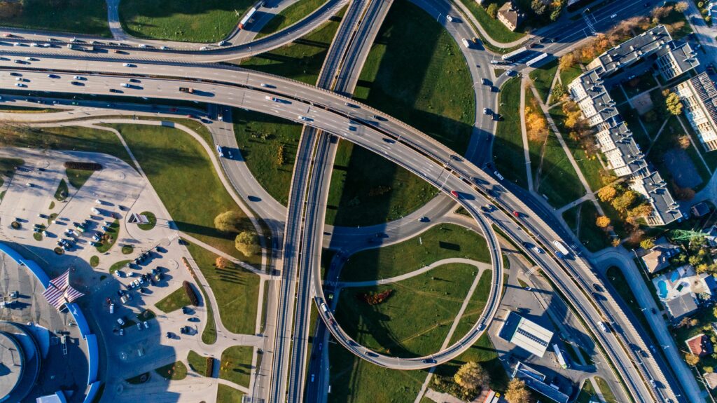
1. Expressways
Definition: Expressways are major roads designed for high-speed vehicular traffic, with limited access points to maintain smooth traffic flow. They are similar to highways and are the fastest routes available for long-distance travel within the country.
Key Features:
- Multiple lanes (typically three or more) in each direction.
- Grade-separated junctions, which means no traffic lights, intersections, or pedestrian crossings on the main carriageway.
- Access is controlled by interchanges, which allow vehicles to enter and exit the expressway.
- Speed limits are generally higher compared to other road types, usually set at 90 km/h.
Examples:
- Pan Island Expressway (PIE)
- East Coast Parkway (ECP)
- Central Expressway (CTE)
- Ayer Rajah Expressway (AYE)
2. Major Arterial Roads
Definition: Major arterial roads serve as the primary routes connecting different parts of the city. They handle a significant amount of traffic and link residential, commercial, and industrial areas to the expressway network.
Key Features:
- Multiple lanes to handle large traffic volumes.
- Traffic signals and intersections are present but are designed to optimize traffic flow.
- Speed limits are typically set between 50 km/h and 70 km/h.
Examples:
- Bukit Timah Road
- Orchard Road
- Thomson Road
3. Minor Arterial Roads
Definition: Minor arterial roads distribute traffic from major arterials to local streets and specific destinations. They support moderate traffic volumes and act as secondary connectors in the road hierarchy.
Key Features:
- Fewer lanes compared to major arterial roads.
- Traffic signals and intersections are more frequent.
- Speed limits are usually lower than on major arterials, ranging from 40 km/h to 50 km/h.
Examples:
- Upper Serangoon Road
- Paya Lebar Road
- Tampines Avenue
4. Collector Roads
Definition: Collector roads gather traffic from local streets and channel it to the arterial road network. They are designed to manage local traffic within neighborhoods and facilitate access to properties.
Key Features:
- Typically have one or two lanes in each direction.
- Intersections and access points are more frequent.
- Speed limits are generally set around 40 km/h.
Examples:
- Choa Chu Kang Avenue
- Bedok North Road
- Clementi Avenue
5. Local Streets
Definition: Local streets provide direct access to residential properties, small businesses, and community facilities. They accommodate the lowest traffic volumes and prioritize pedestrian safety and local mobility.
Key Features:
- Generally narrow with single or double lanes.
- Traffic calming measures like speed bumps and pedestrian crossings are common.
- Speed limits are low, usually around 30 km/h.
Examples:
- HDB estate roads
- Private residential estate roads
- Roads within industrial estates
Paid and Free Highways
In Singapore, the road network includes both paid highways, known as expressways, and free highways, which are regular roads that do not charge tolls. Here’s an overview of each type:
Paid Highways (Expressways)
Definition: Paid highways in Singapore refer to expressways where toll charges are applicable for certain segments. These expressways facilitate high-speed travel and connect various parts of the island, providing faster routes compared to regular roads. The toll charges on these expressways are collected electronically via the Electronic Road Pricing (ERP) system, which adjusts fees based on traffic conditions to manage congestion during peak hours.
Key Features:
- High-speed travel: Expressways typically have higher speed limits (up to 90 km/h) and fewer traffic lights or intersections compared to regular roads.
- Electronic Road Pricing (ERP): Tolls are charged at specific points on the expressways during peak hours to regulate traffic flow and manage congestion.
- Controlled access: Access to expressways is controlled via ramps and interchanges, ensuring smooth traffic flow without interruptions from local traffic or pedestrians.
Examples of Paid Highways (Expressways) in Singapore:
- Pan Island Expressway (PIE)
- Ayer Rajah Expressway (AYE)
- East Coast Parkway (ECP)
- Central Expressway (CTE)
Electronic Road Pricing (ERP) System
The primary method of collecting fees on expressways in Singapore is through the Electronic Road Pricing (ERP) system. This system uses electronic gantries equipped with sensors and cameras to detect vehicles passing through specific points on the expressways. The ERP system automatically deducts charges from an in-vehicle unit (IU) installed in the vehicle or via a GPS-based system known as Electronic Pricing (GPS-ERP) for foreign vehicles.
Key Points about ERP Charges:
- Variable Pricing: ERP charges vary based on traffic conditions and the specific segment of the expressway. Higher charges typically apply during peak hours and on congested routes to manage traffic flow and discourage non-essential travel.
- Peak Hours: ERP rates are often higher during peak periods, typically on weekdays during morning and evening rush hours. This pricing strategy aims to alleviate congestion by encouraging motorists to consider alternative travel times or routes.
- Location-Based: ERP rates differ by location, with charges typically higher on expressways and major roads leading into the Central Business District (CBD) or other busy commercial areas.
- 24/7 Operation: Some ERP gantries operate 24 hours a day, while others activate only during specific times when traffic conditions warrant congestion management measures.
- ERP Rates Display: Motorists receive advance notification of ERP rates through overhead gantry signs that display current charges. These signs indicate the upcoming charge and help drivers make informed decisions about their route and timing.
Examples of Expressways with ERP:
- Pan Island Expressway (PIE)
- Ayer Rajah Expressway (AYE)
- East Coast Parkway (ECP)
- Central Expressway (CTE)
Free Highways (Regular Roads)
Definition: Free highways in Singapore refer to regular roads and major arterial routes that do not impose toll charges. These roads are accessible to all vehicles without any additional cost beyond vehicle taxes and fees.
Key Features:
- Accessibility: Free highways include major arterial roads, minor arterial roads, collector roads, and local streets that provide connectivity throughout residential, commercial, and industrial areas.
- Traffic signals and intersections: Unlike expressways, free highways have traffic lights and intersections that regulate traffic flow and allow for access to adjacent neighborhoods and properties.
- Speed limits: Speed limits on free highways vary depending on the road type, generally ranging from 40 km/h on local streets to 70 km/h on major arterial roads.
Examples of Free Highways (Regular Roads) in Singapore:
- Bukit Timah Road
- Orchard Road
- Upper Serangoon Road
- Tampines Avenue
Conclusion
Singapore meticulously plans its road network to ensure efficient traffic flow and connectivity. Each category of road, from expressways to local streets, plays a vital role in maintaining the smooth operation of the city’s transportation system. Understanding these categories helps residents and visitors navigate the city effectively, contributing to Singapore’s reputation as a global model for urban infrastructure.